


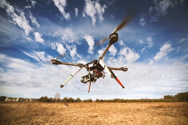
If you haven’t already heard, drone technology is moving extremely fast. It’s also having a major impact on the mapping industry. The two have been revolutionized by technologies such as GPS and laser scanning, and UAS technology has brought them another step forward. From construction to archaeology to surveying, the mapping capabilities of drones are making a huge impact.
Archaeology
Compared to traditional aircraft, operating UAS to carry out mapping tasks is much easier, more efficient and more cost effective. Researchers believe that drones are proving to be powerful new tools for archaeologists in documenting excavation, mapping landscapes and identifying buried features. For example, drones are now being used to document and monitor a ravaged landscape on the Dead Sea Plain in Jordan. They are being employed in Jordan to protect cultural heritage sites, artifacts and even to reveal lootings at the site. With drones, archeologists can gather data with higher resolutions from areas of their choosing. UAS provide evidence for the rate of ongoing site damage, even in contexts where other remote sensing systems would provide insufficient data.
UAS collect imagery that can be marked with precise GPS-derived locations, creating nearly instant maps of areas that might be difficult or even dangerous to traverse. Archeologists are just one industry that benefits from these detailed aerial maps in areas where they plan to dig or build.
Land Surveying
Drone mapping has not only provided a low-impact way to study delicate settings for archeological digs but they’ve also provided ways to study environments and ecosystems that are hard to reach and often unstable. Geographers and engineers can now employ aerial surveys to track erosion, follow changes in river sources and inspect glaciers, among other uses. In one example, UAS are being sent to help protect West Virginia from landslides. Drones are monitoring landslide areas in the northern part of the state by capturing aerial images and using them to create 3D data. Because access to this terrain is notoriously challenging, drones are providing a tool to get as close to these remote and unstable landscapes as possible and as quickly and safely as possible. This project will help to better predict and prevent landslides and designate places where hazards could be present on rural roads.
Construction
It’s no surprise that the construction industry is abuzz about drone technology and its ability to cut costs and increase efficiency, too. Drones and their mapping applications are proving to be incredibly efficient at aerial mapping on building sites. They are carrying out surveying and mapping tasks on construction sites across the globe and are promising to change the problems that have been slowing down building projects for centuries. For instance, UAS are able to go where labor is absurdly expensive, or where it is too dangerous for human workers to venture.
The Aspern Vienna Urban Lakeside project in Austria is one example of drones being used to conduct surveying work. The project is one of the largest urban development undertakings in Europe and it is working to improve standards for energy efficiency and environmental balance with the help of UAS technology.
UAS can be used for all phases of building from pre-construction land surveying to progress monitoring, structure inspection and aerial imagery to promote services. The concept of an end-to-end data flow is also a huge upgrade for the industry, allowing them to track a site’s progress with a degree of accuracy previously unknown in construction. In other words, drones are literally laying the foundations of the future.
Operational Intelligence Promoting Drone Mapping Innovations
Operational Intelligence (OI) technology has proven that drones can be safely integrated into the national airspace as more and more are entering our skies. By providing a complete operational view of post workflow data OI provides deep analytics, real-time processing, insight and intelligence that enable better informed decision making. OI is helping to grow these industries and improve map making and surveying all together.
Technological advancements have increased the integrity of plans from construction sites to archeological excavations. Because this is a less costly, more efficient and more precise method compared to traditional approaches, employing drones for map making is an ideal process that continues to gain considerable momentum and excitement.
To learn more about the role that OI can play in UAS map making and adoption across various industries, download our free eBook, “Operational Intelligence: Enabling the Future of Commercial Unmanned Operations.
