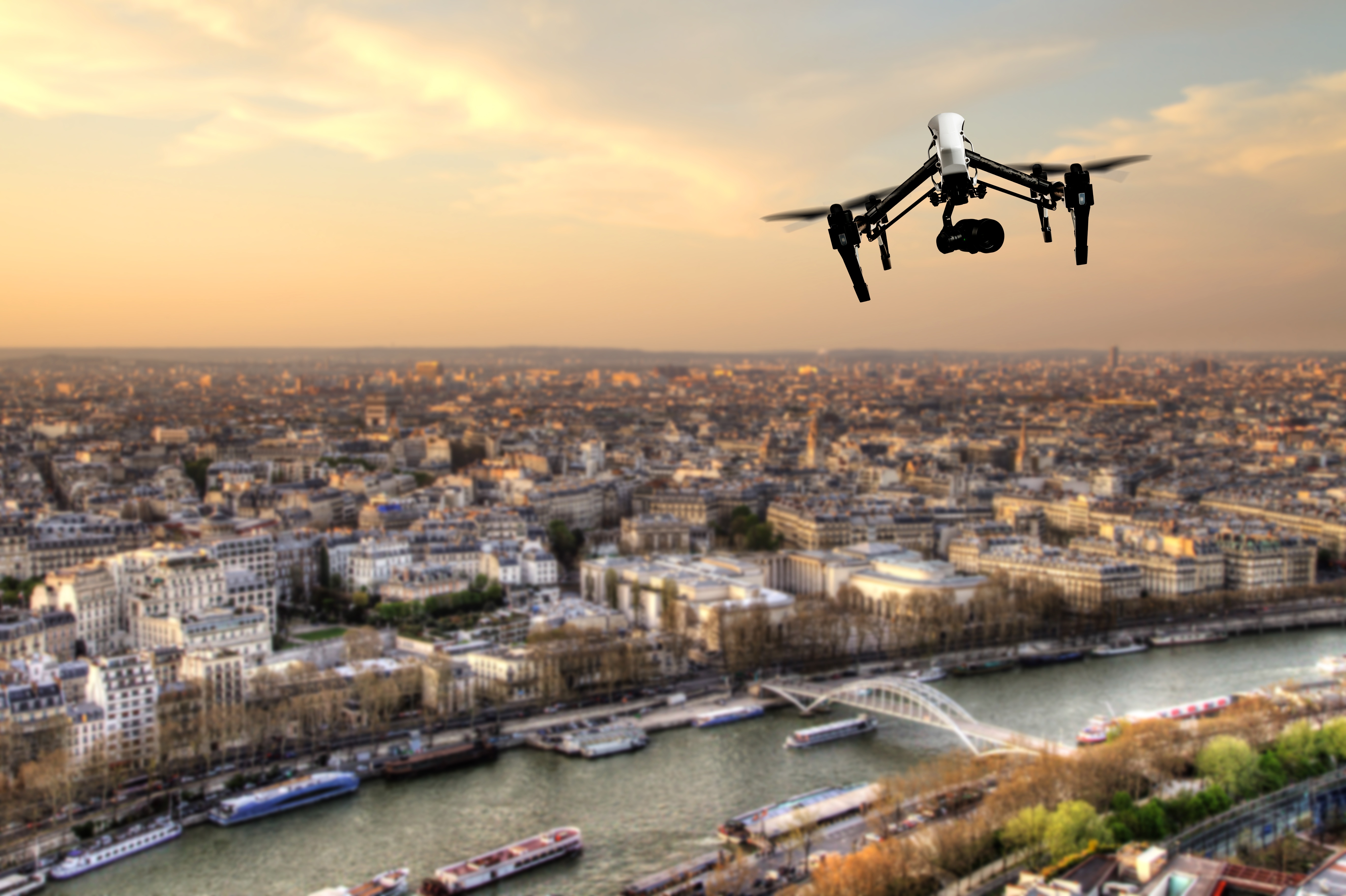
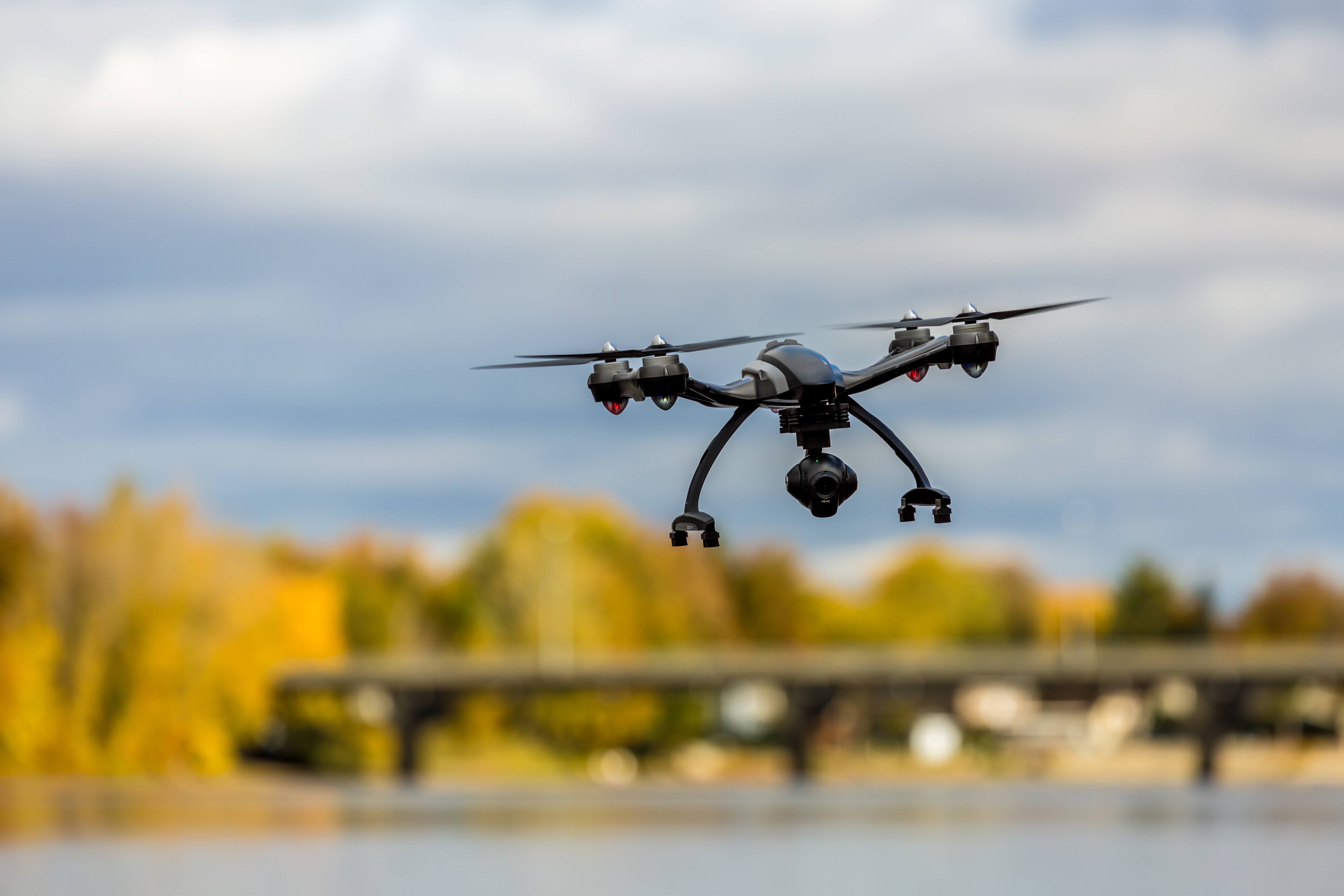
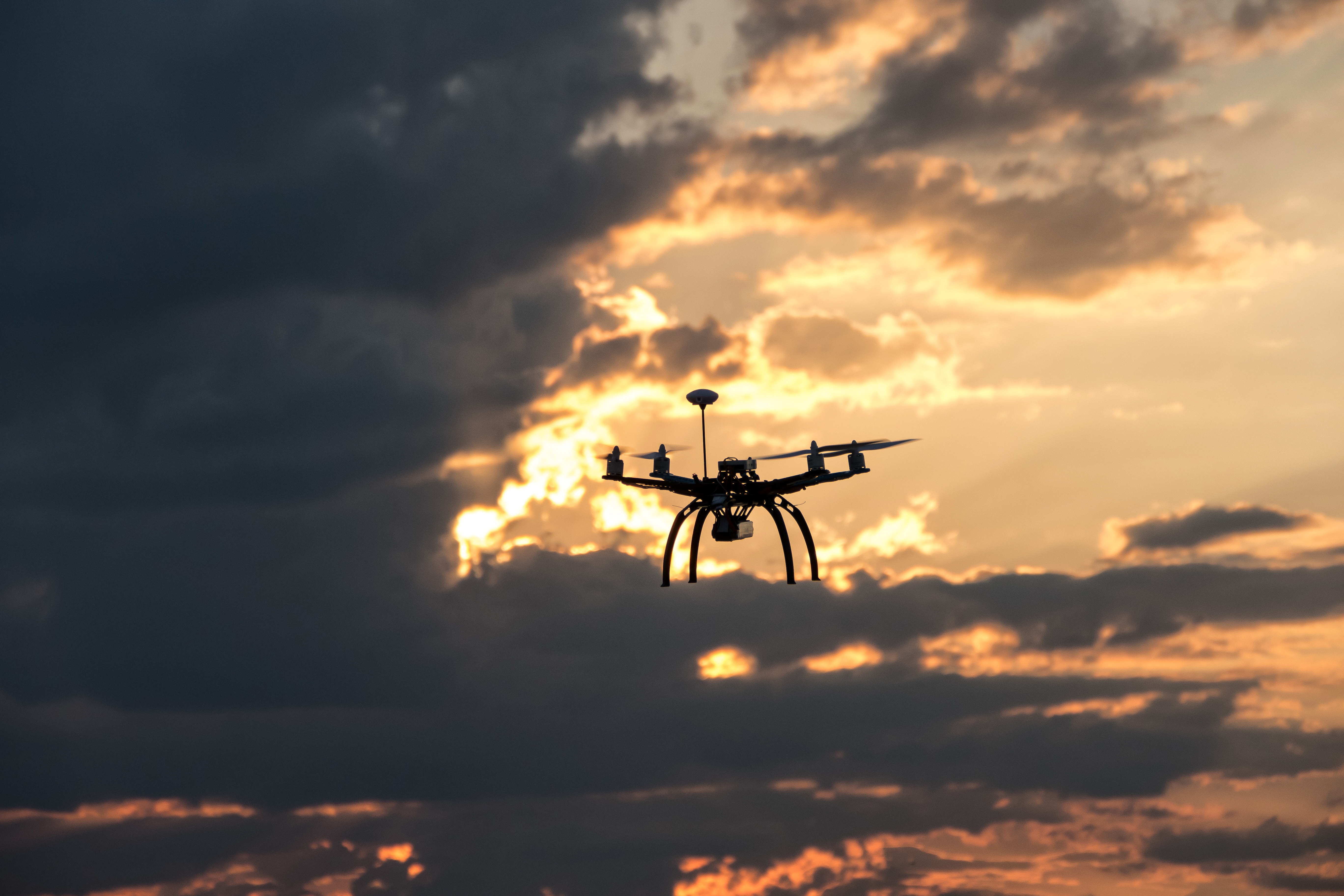
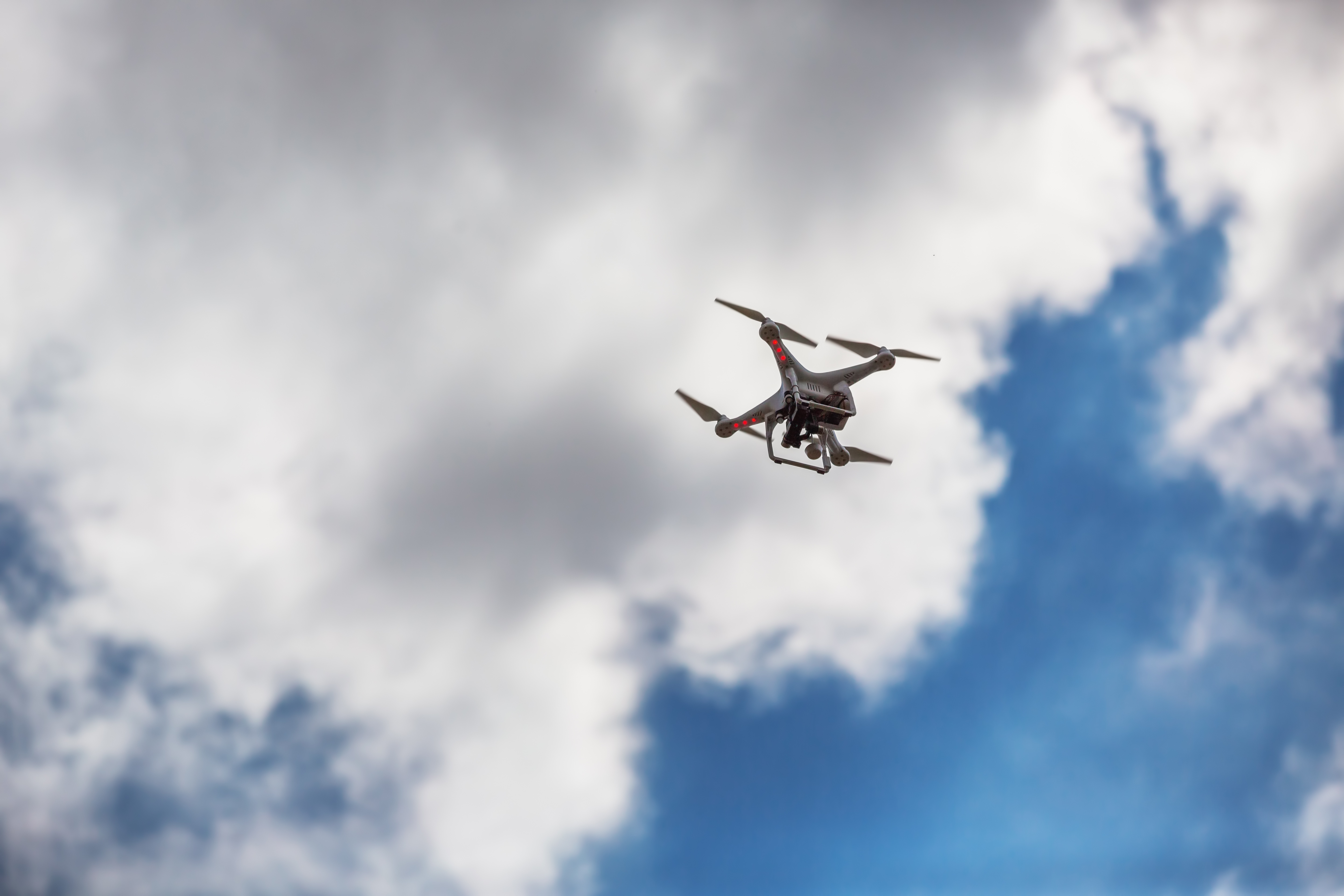
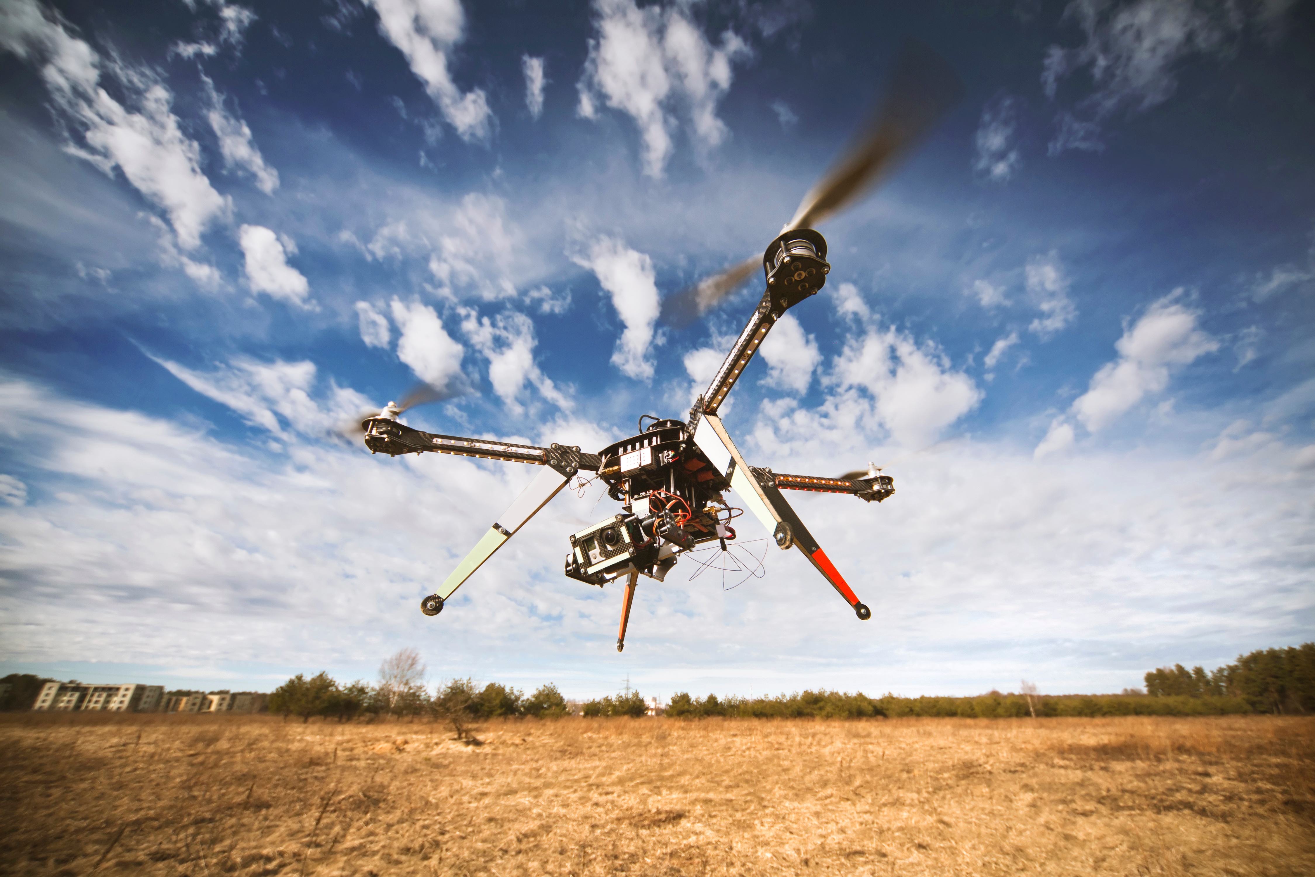
In only a few short years, unmanned aircraft systems (UAS), also called drones, have evolved from paparazzi gadgets to valuable tools helping journalists and news organizations capture and share breaking news stories.
This year’s Consumer Electronics Show (CES) displayed much of the latest in drone technology, from underwater Unmanned Aircraft Systems (UAS) to a selfie drone. But at this February’s NextGov “Drones for Good” event in Washington, D.C., we got a little more insight into the future of the exciting technology, particularly for commercial drones in government. The event explored the policy behind regulating this new technology as well as how drones may be used in the upcoming years to benefit citizens. It included topics such as search and rescue, medical supplies transport and yes, pizza delivery.
Unmanned Aircraft Systems (UAS), or drones, are being employed for numerous life-saving missions, from humanitarian aid delivery to search and rescue operations. But drones can also go where people can’t (or shouldn’t). Today, several projects are underway to use drones for detection purposes in order to save and protect lives in many ways, particularly from dangers that are often hidden until it’s too late. UAS detection solutions range from detecting landmines to toxic gases and much more.
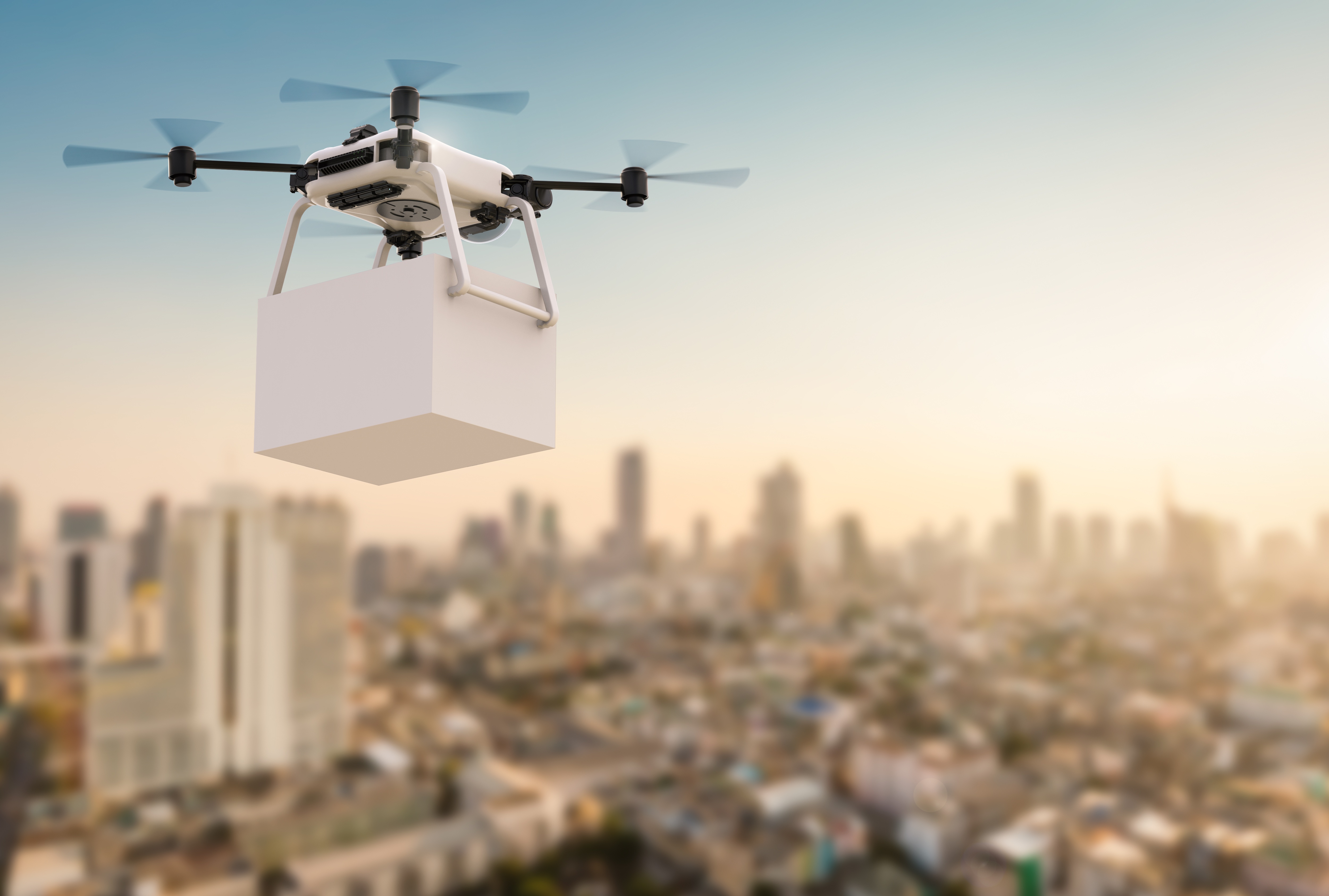
From medical supplies to pizzas to your Amazon packages, the idea of drone deliveries has captured the public's imagination and many companies want to be the first to offer regular drone delivery globally. However, because drone regulations are still holding companies back from pursuing that goal, is drone delivery as close to the horizon as it seems?
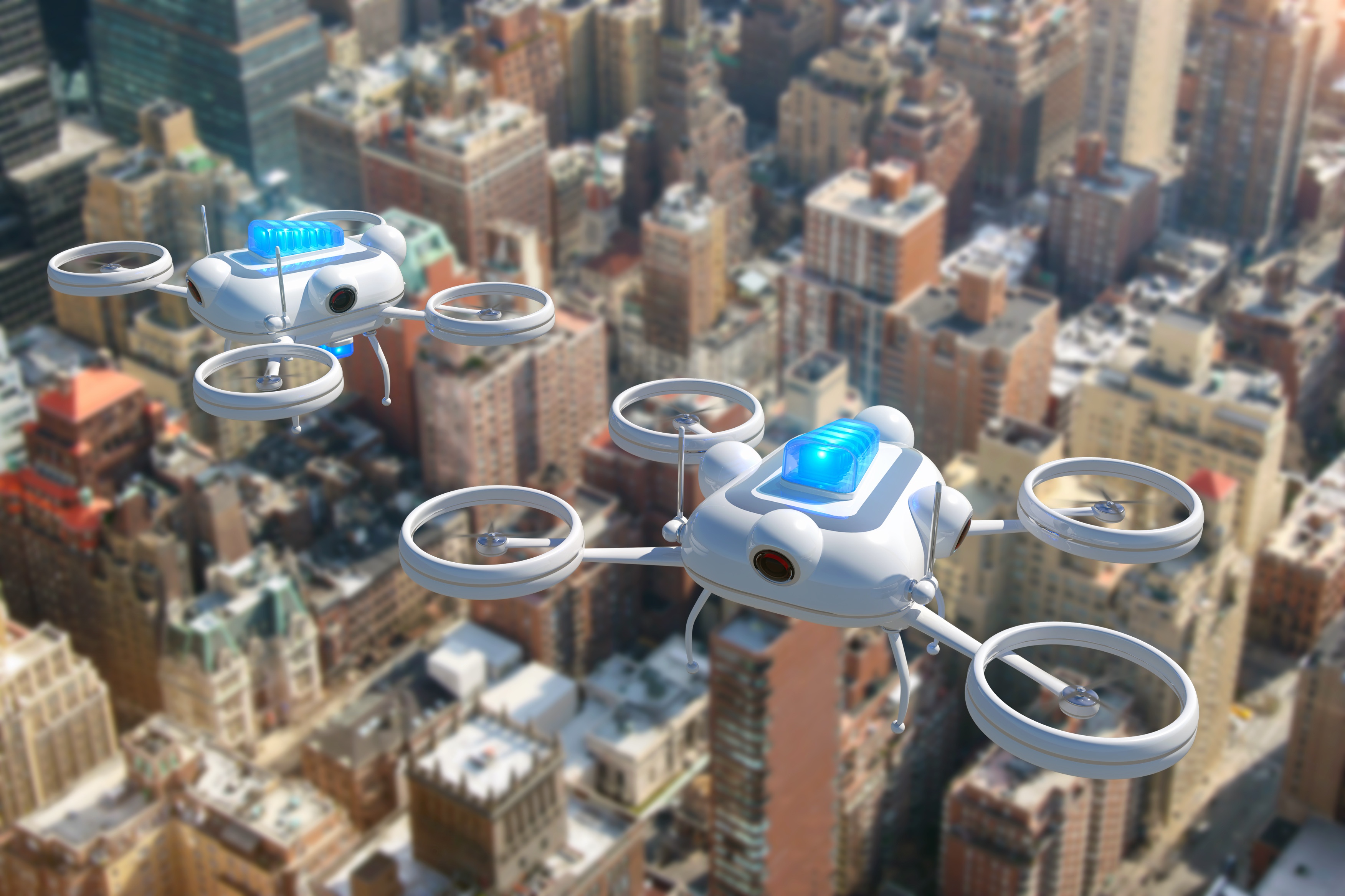
Among the many industries benefiting from the increased availability of drones or UAS (Unmanned Aircraft Systems), is the security sector. Drones have become an asset to public safety especially with the help of operational intelligence (OI) technologies like Mission Insight™ to improve situational awareness in shared airspace. They are regularly used to conduct search and rescue missions, assess crime scenes and monitor and manage special events. Large events such as the recent presidential inauguration or the upcoming Super Bowl require the kind of intense security measures that drones uniquely provide.
Drones, or Unmanned Aircraft Systems (UAS), can now be used for aerial inspection to property surveillance, but can they also save lives? Drones are better able to predict storm forces than traditional methods, and that ability can be lifesaving when severe weather strikes. They could play an integral role in forecasting and relaying the most accurate information to scientists and the public. Meanwhile, the steady improvement of drones will increase the amount of weather data they can collect. Drones are set to be the (better) weather forecasters of the future, and here we’ll explore the reasons for it.
Unmanned aircraft systems (UAS), or drones as they’re more commonly called, can be a huge asset in a number of public safety efforts, particularly for law enforcement, first responders, search and rescue and humanitarian applications.
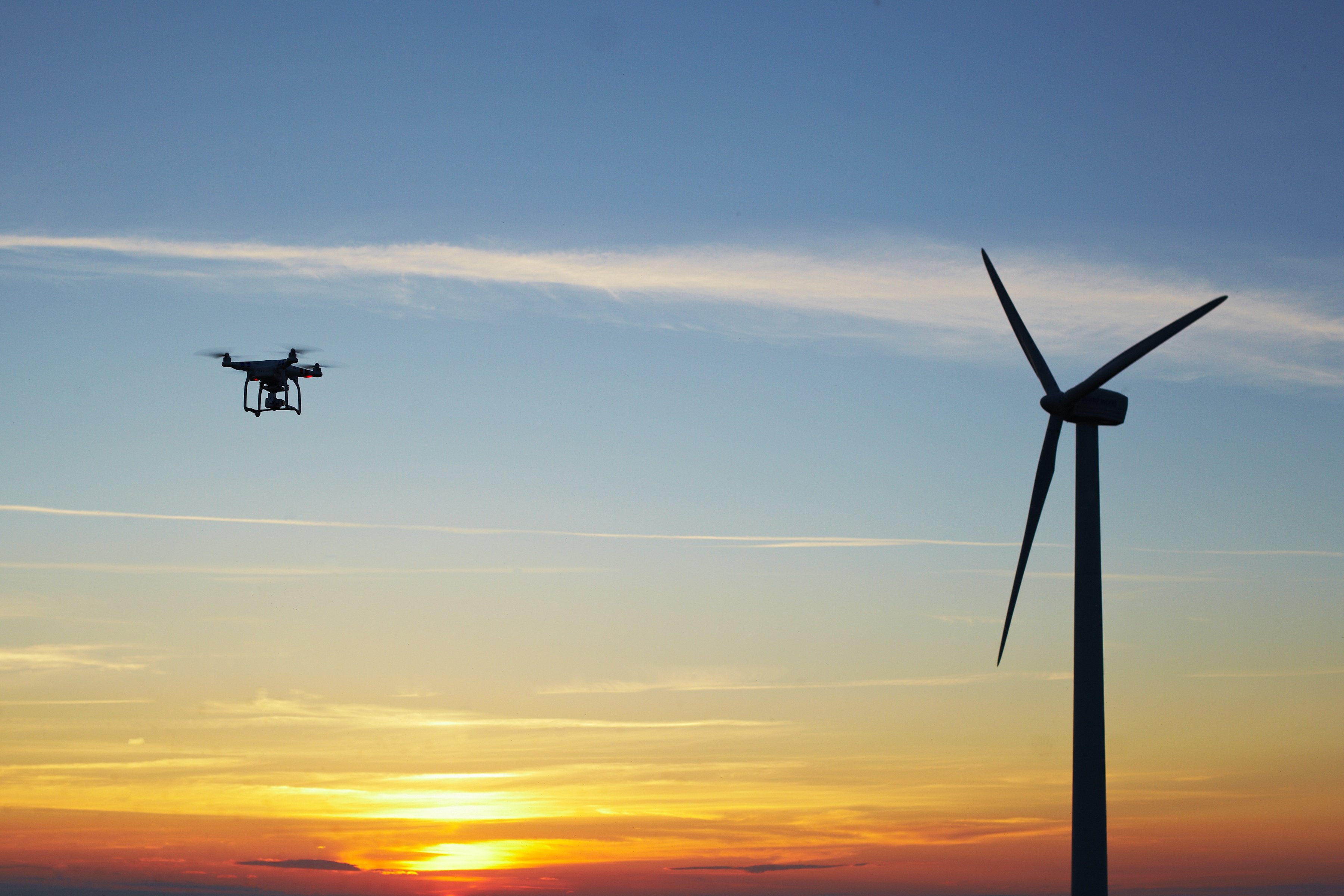
Commercial industry use of drones began to grow around 2014 as a result of individual authorizations and Section 333 exemptions from the Federal Aviation Administration (FAA). Since the FAA issued their latest rule on commercial UAS operations, commercial entities have finally gotten the green light to further incorporate drones as a part of their businesses. According to a recent study by A 2015 study from Navigant Research, one commercial sector is expected to make an especially significant impression in the coming years: the wind power industry.
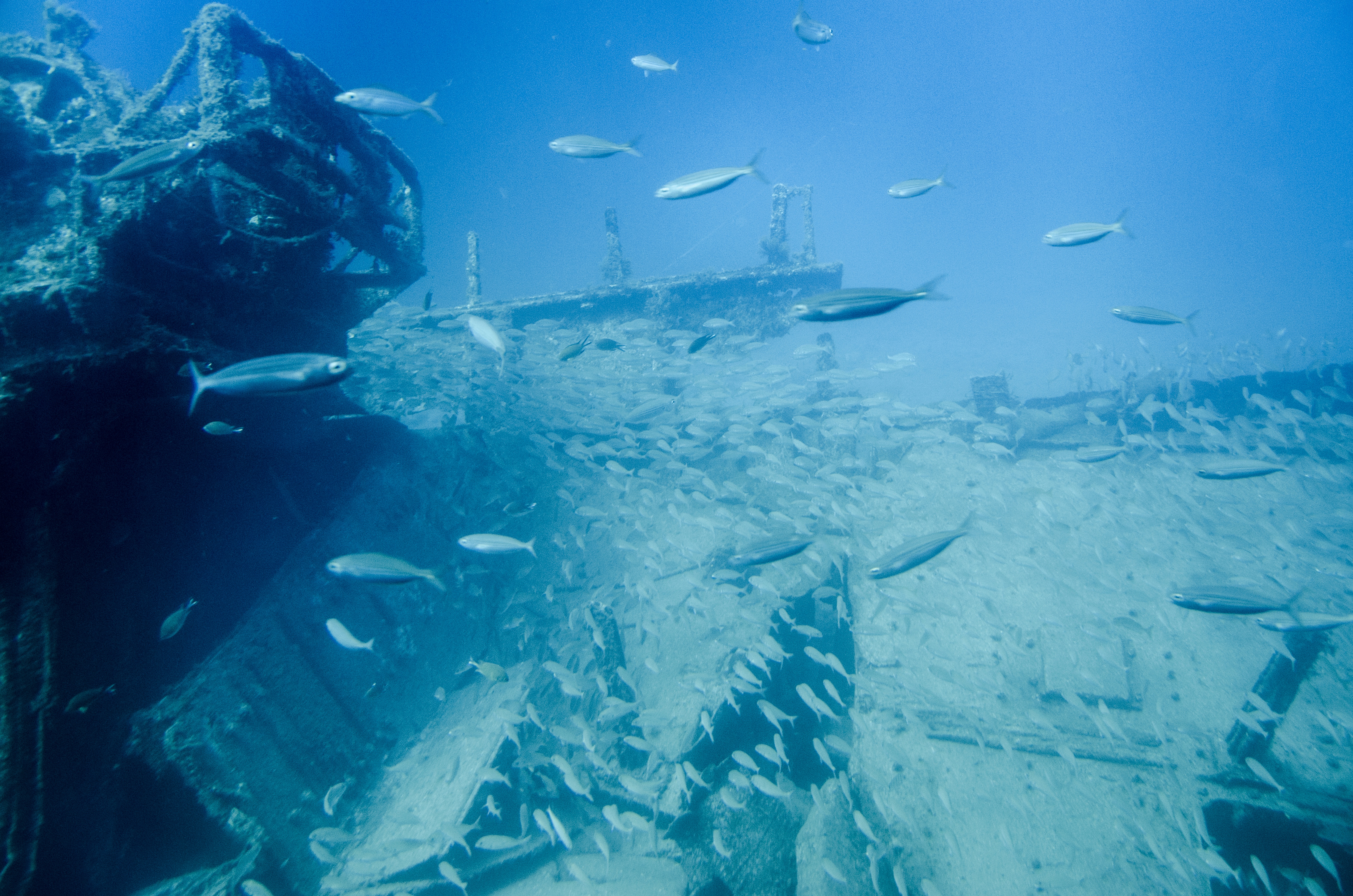
Drones are best known for taking to the skies in an increasing number of industries and uses. But many may not be aware that drones are also hard at work in the world’s oceans. Drones are a widely used type of underwater vehicle serving a range of military, commercial and scientific needs.
If you haven’t already heard, drone technology is moving extremely fast. It’s also having a major impact on the mapping industry. The two have been revolutionized by technologies such as GPS and laser scanning, and UAS technology has brought them another step forward. From construction to archaeology to surveying, the mapping capabilities of drones are making a huge impact.


