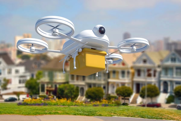
With GoPro developing a drone and universities offering degrees in unmanned aircraft systems (UASs), the technology is making the move from military to mainstream applications. Already a multi-billion dollar global defense industry, the civilian drone market is expected to grow 19 percent annually from 2015 to 2020, driven primarily by commercial industries.
UASs provide business some of the same functionality as a helicopter, with a starting price point of around $1,000, enabling organizations to undertake tasks that were previously too expensive or too dangerous to consider. We’ve put together five civilian industries ready to capture value from UAS adoption.
- Precision Agriculture: Farmers across the country have the difficult task of managing millions of acres of land, crops and livestock. UASs simplify this process. By getting a bird’s eye view, farmers are able to easily survey and monitor crop health mid-season, assess the nutrient uptake of their fields and remotely identify areas of high weed growth, enabling them to decrease costs and increase yields.
- Public Service and Safety: UASs can help first responders track fires, survey damage, locate injured individuals and much more. Due to their small, versatile nature, commercial drones could simplify search and rescue by entering difficult to reach areas and deliver supplies in remote or dangerous locations. Additionally, UASs can aid in disaster relief and recovery by helping government and humanitarian organizations distribute emergency supplies, especially in the absence of viable roads following natural or other catastrophes.
- Infrastructure Monitoring: Companies can use UASs to inspect tall wind turbines, remote oil pipelines, offshore oil rigs, bridges and railways, allowing for incredible aerial photography angles and views that would not be otherwise accessible. This unprecedented access can help geographically dispersed organizations better manage their assets by keeping a closer eye on physical objects and scheduling maintenance before disastrous mechanical or structural failures occur.
- Land Surveying: UASs offer simple and easy land surveying. Geologists can map unchartered territories or survey for oil, while archaeologists can create 3D images of ancient sites and patrol for looters. Additionally, geographers can take aerial surveys to track erosion, follow changes in rivers’ sources and inspect glaciers, among other uses.
- Delivery and Logistics: As companies like Amazon experiment with UAS technology to deliver parcels with incredible speed, the potential to transform how companies ship products and the time it takes to receive them could revolutionize approaches to supply chain management. The ability to receive an order with same-day service could forever change retail operations.
With the number of UASs in our skies increasing, the need to manage their presence in a coordinated manner becomes vitally important. More UASs means even more big data to handle and analyze. Operational Intelligence (OI) will be necessary to aggregate the vast amounts of disparate data generated by UASs into a central location, regardless of format or originating program. Weather patterns, GPS tracking, social media, radar intelligence (RADINT) and video metadata can all be standardized with OI into a single, graphical interface to gain real-time visibility of information and provide a means of traffic management for unmanned operations – and ensure that both UASs and traditional manned flights remain safe.
To learn more about operational intelligence’s potential impact on UAS adoption in commercial applications, download our free eBook.
DroneBlog


